Arkansan Map – Blank Map, Outline Map & County Map Printable
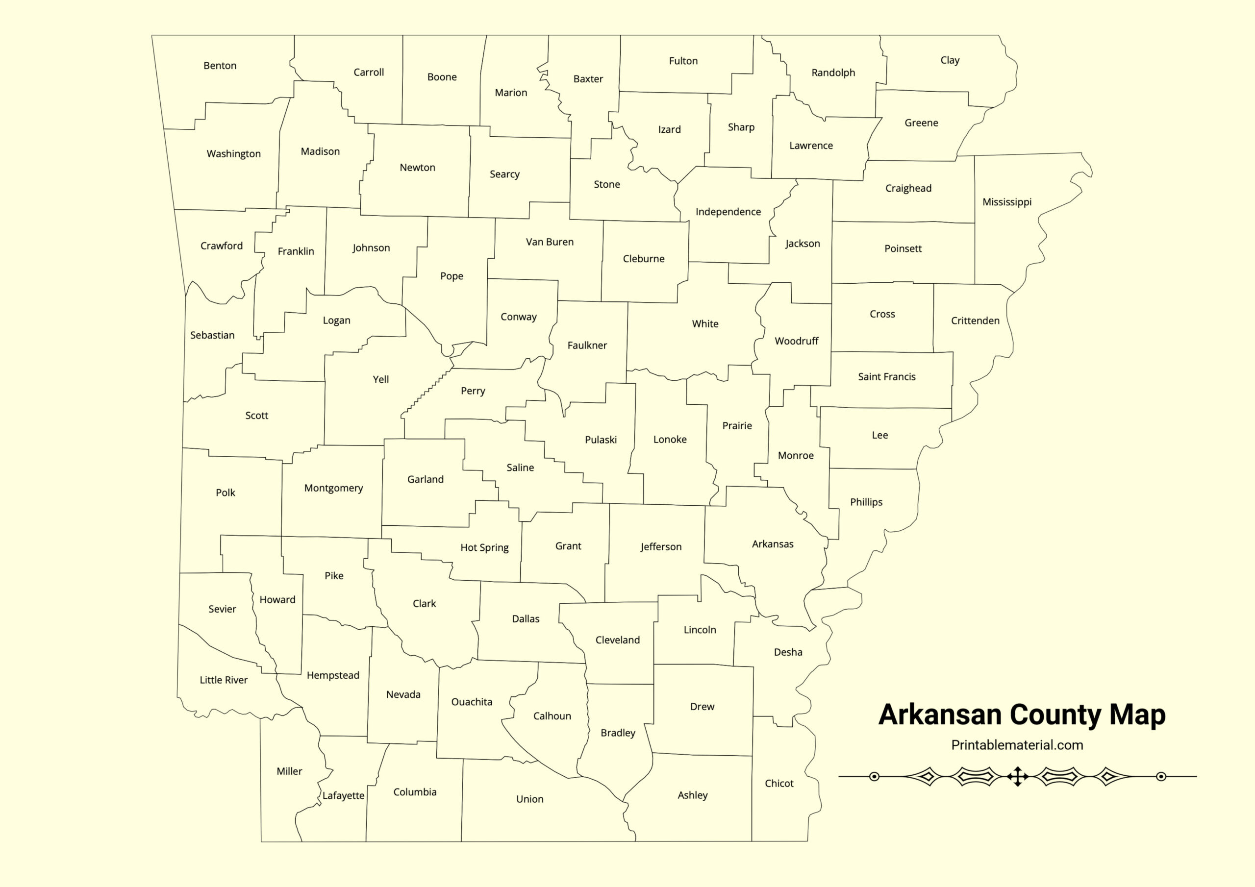
Arkansan County Map with name :-
Explore the Arkansan Map with our printable options image and PDF : a blank map for education purpose, an outline map for a clear state view, and a detailed county map with names. Perfect for educational purposes, planning, and projects, these maps offer a versatile print for anyone needing a comprehensive view of Arkansas.
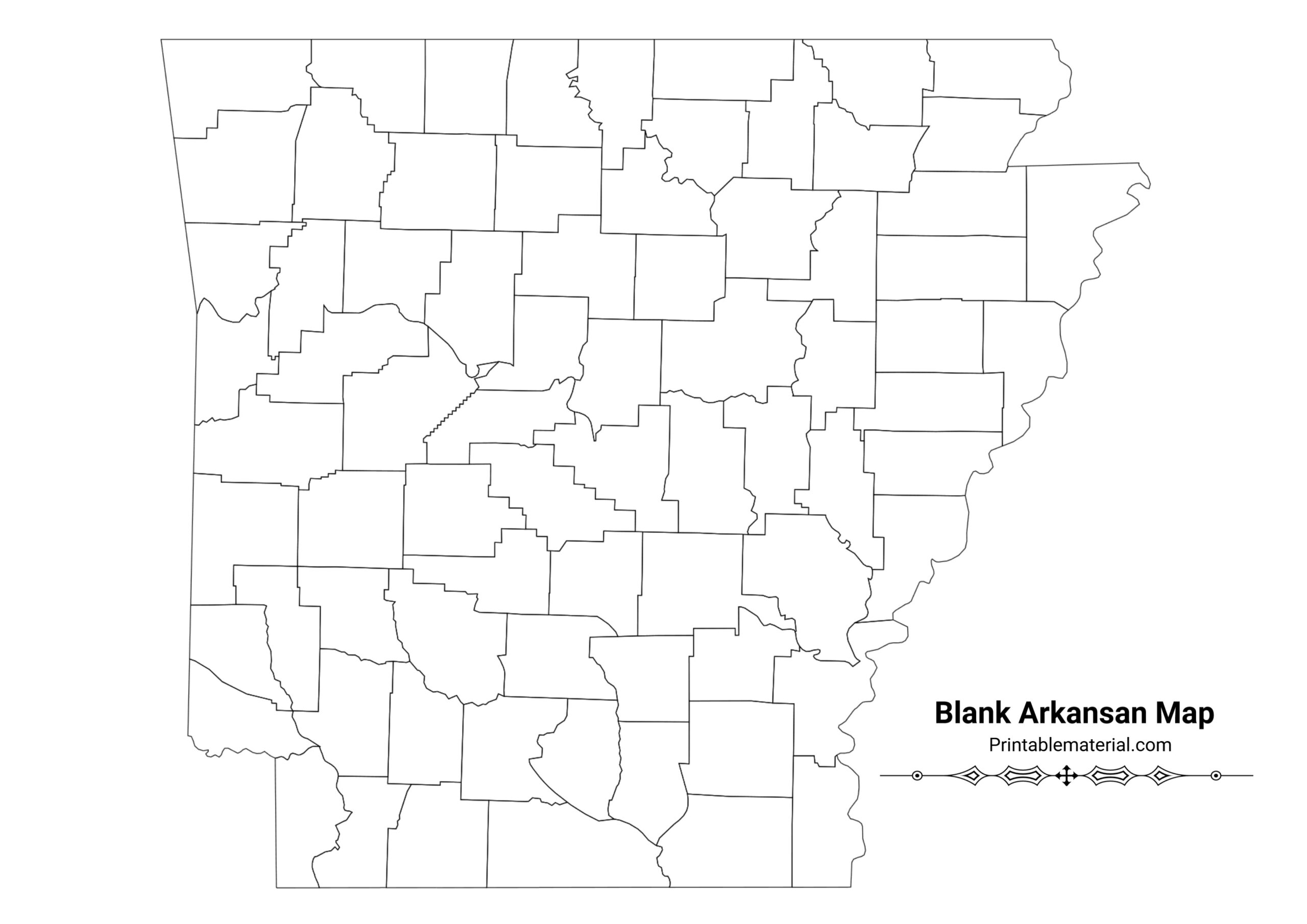
Blank Arkansan Map :-
Arkansan Outline Map :-
Arkansas is divided into 75 counties. Here is the complete list:
- Arkansas
- Ashley
- Baxter
- Benton
- Boone
- Bradley
- Calhoun
- Carroll
- Chicot
- Clark
- Clay
- Cleburne
- Cleveland
- Columbia
- Conway
- Craighead
- Crawford
- Crittenden
- Cross
- Dallas
- Desha
- Drew
- Faulkner
- Franklin
- Fulton
- Garland
- Grant
- Greene
- Hempstead
- Hot Spring
- Howard
- Independence
- Izard
- Jackson
- Jefferson
- Johnson
- Lafayette
- Lawrence
- Lee
- Lincoln
- Little River
- Logan
- Lonoke
- Madison
- Marion
- Miller
- Mississippi
- Monroe
- Montgomery
- Nevada
- Newton
- Ouachita
- Perry
- Phillips
- Pike
- Poinsett
- Polk
- Pope
- Prairie
- Pulaski
- Randolph
- St. Francis
- Saline
- Scott
- Searcy
- Sebastian
- Sevier
- Sharp
- Stone
- Union
- Van Buren
- Washington
- White
- Woodruff
- Yell






Leave a Reply